GENIUS Project Demonstrates 5G’s Potential to Enhance Drone Operations and Public Safety
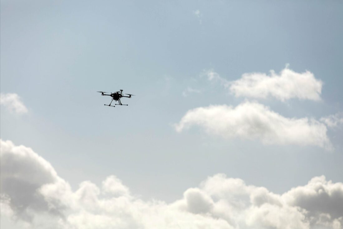
The future of drone technology depends on integrating drones into a shared airspace where they can safely operate in tandem with manned aircraft. This challenge is being addressed by the GENIUS project, a collaborative effort involving researchers from the University of Southern Denmark (SDU) and the Technical University of Denmark (DTU), as well as industry partners such as Ericsson, TDC, and HHLA Sky. The project explores how 5G technology can contribute to the safe expansion of drone operations in Denmark.


5G and Drone Integration
The GENIUS project is showing promising results in integrating drones into the airspace using 5G technology. By developing drones equipped with 5G capabilities and a comprehensive traffic management system, the project aims to address the challenges of flying drones beyond the operator’s visual line of sight (BVLOS). The traffic management system provided by HHLA Sky allows for real-time connectivity to drones, the creation of safe flight paths, and the ability to temporarily close airspace in case of an emergency.
Sebastian Törsleff from HHLA Sky emphasised the practicality of the project, saying: “What’s great about this project is that it wasn’t just a theoretical exercise. We actually tested the systems, carried out flights and integrated solutions from different partners at both a technical and operational level.” He also highlighted the value of combining industry and research expertise, saying: “In a project like this it’s always wise to bring in different perspectives.”
Advantages of 5G Technology
5G technology, familiar from the little icon on your mobile phone, offers huge advantages for drone operations. In the GENIUS project, Ericsson developed a way to monitor drone performance in real time via the live TCC NET network. This advancement is expected to make BVLOS flights more feasible and reliable.
Additionally, 5G technology will enable precise location tracking of drones and the creation of SIM density maps to enhance public safety. These maps can provide a dynamic, real-time overview of the number of people in a particular area and can be used for risk assessment and to keep drones away from crowded places.
Looking to the future: new drone strategies
As the GENIUS project progresses, the focus will shift to testing these systems in a real-world environment outside the Drone Centre at HCA Airport in Odense. Kjeld Jensen, associate professor at SDU’s Drone Centre, said: “With GENIUS we have taken a decisive step towards the integration of drones with manned aircraft at low altitude. There are still major challenges to tackle and we are actively applying for funding to be able to continue.”
Jensen also expressed optimism about the upcoming national drone strategy, due to be published in the autumn: “We are also looking forward to the new national drone strategy, which several partners in the project have helped develop as part of an expert group. We hope that this new strategy will form the basis for future legislative work in this area,” he added.
The GENIUS project is a step towards the safe integration of drones into shared airspace. Leveraging 5G technology, the project shows how drones may operate side-by-side with manned aircraft and offers a glimpse into the future of drone operations in Denmark. As the project continues to evolve, the upcoming National Drone Strategy will play a key role in shaping the legal framework needed to support this emerging technology.
read more:


