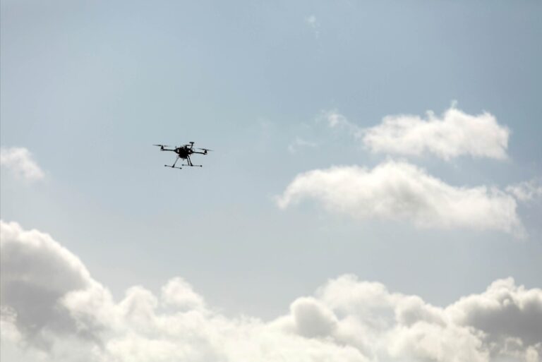
For drone technology to really take off, they need to be integrated into the airspace and be able to fly alongside manned aircraft. In the research project GENIUS, researchers from SDU (University of Southern Denmark) in collaboration with DTU (Technical University of Denmark), companies and organisations have shown that 5G technology could be part of the solution.
There are high expectations for the future uses of drones, from flying taxis and medical drones to infrastructure monitoring, rescue operations, and transporting spare parts to offshore wind farms.
There’s just one problem.
All of this can only be achieved if drones are integrated into the airspace, flying alongside manned aircraft and able to fly “beyond visual line of sight” (BVLOS) to the drone pilot. Currently, this is only partially possible.
But part of the solution may now be in sight: In the research project GENIUS, researchers from the University of Southern Denmark, working with DTU, Ericsson, TDC, HHLA Sky and several other partners, have demonstrated how 5G technology can contribute to the integration and safe expansion of drone technology in Denmark.
The two companies have joined forces to develop a new drone that integrates 5G technology with a traffic management system that can connect to drones via 5G, pinpoint their location, create corridors in the airspace where drones can fly safely, and even suspend drone operations and temporarily close the airspace if, for example, police suddenly need to operate in the area.
Sebastian Törsleff of HHLA Sky, which provided the traffic management system for the project, said: “The great thing about this project is that it wasn’t just a theoretical exercise.
“We have actually tested the systems, conducted flights and integrated solutions from different partners at both the technical and operational levels.
“The project also combines industry expertise on the one hand and research expertise on the other. It’s always wise to bring in different perspectives in projects like this.”
5G Benefits
Most people are probably familiar with 5G as that little icon on their mobile phones that indicates good network coverage.
When it comes to drones, 5G technology is interesting because it can be used to establish a stable and reliable connection with drones even in areas with limited capacity.
In the GENIUS project, Ericsson has successfully developed a new way of monitoring drone performance in real time via the live TCC NET network, which will make BVLOS flying significantly easier.
5G can also be used for a variety of other purposes, such as flying drones and improving public safety.
For example, through the network, we can pinpoint the location of drones to within centimetres, and create what’s called a SIM density map – a dynamic, real-time overview of how many mobile phones and people are in a particular area, which can be used for risk assessment and to guide drones outside populated areas.
New drone strategy
The next step is to test the system in the real world, and not just at the drone center at HCA airport in Odense.
Kjeld Jensen, associate professor at SDU’s Drone Centre, said: “With GENIUS we have taken a decisive step towards the integration of drones and manned aircraft at low altitudes. There are still major challenges to tackle and we are actively applying for further funding to be able to continue.”
“We also look forward to the publication of a new National Drone Strategy in the autumn, which several partners in the project have helped develop as part of an expert group. We hope that this new strategy will provide the basis for future legislative work in this area.”


